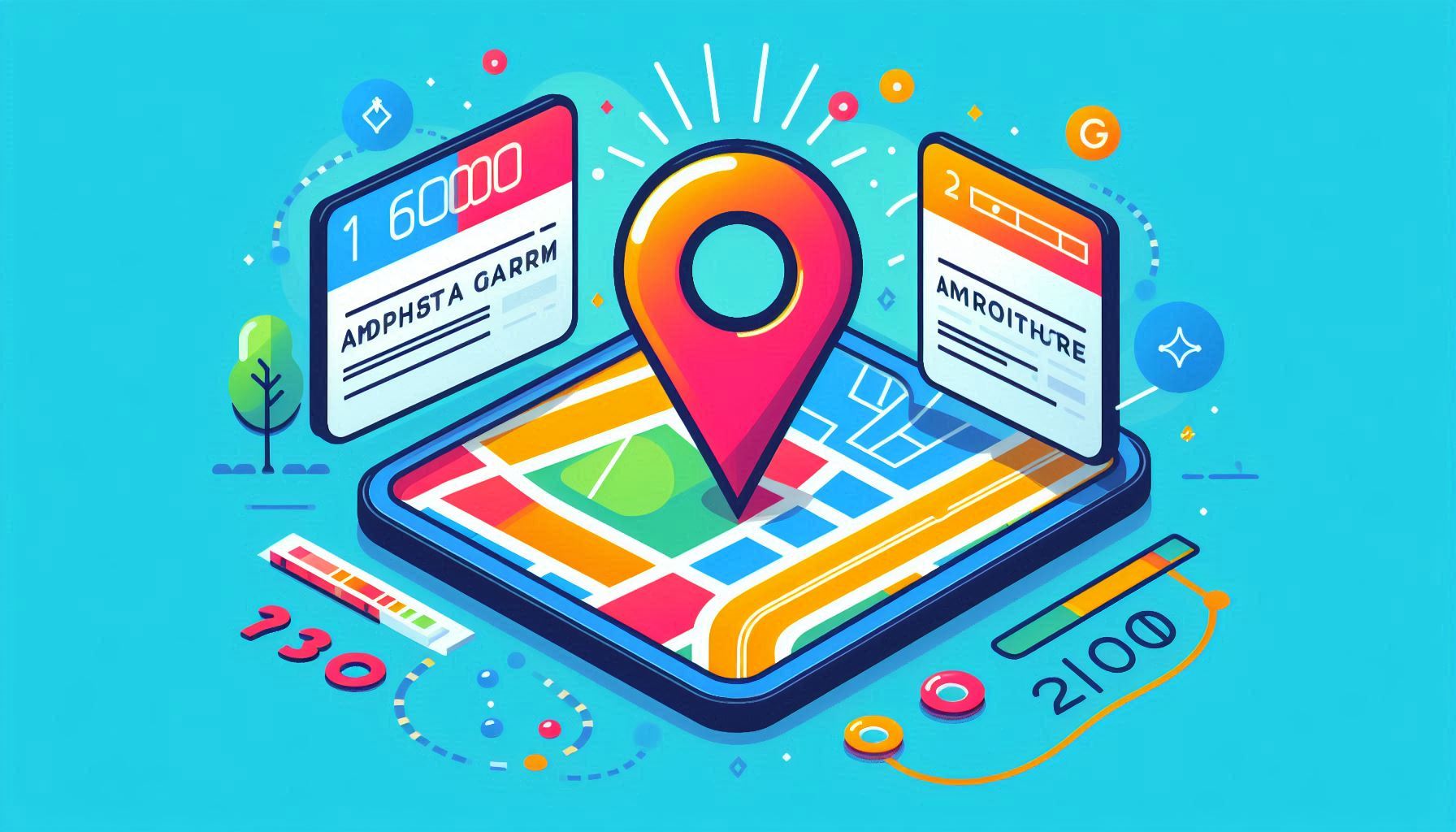
The Google Maps API provides a wide range of features for integrating location-based services into your applications, one of the most valuable being Geocoding. Geocoding allows you to convert a human-readable address (such as "1600 Amphitheatre Parkway, Mountain View, CA") into geographical coordinates (latitude and longitude) that can be used for mapping, location tracking, and other location-based services. This feature is particularly useful when you need to plot an address on a map, calculate distances, or integrate geospatial features into your application.
In this blog, we’ll walk through how to use the Geocoding feature of the Google Maps API to convert addresses into coordinates, and explore how you can leverage this functionality to enhance your location-based applications.
Geocoding is the process of converting addresses into geographic coordinates (latitude and longitude), which can then be used to place markers on a map, calculate distances, or perform other spatial operations.
On the flip side, Reverse Geocoding is the process of converting geographic coordinates back into a human-readable address. Both geocoding and reverse geocoding are essential components of many location-based services, from finding directions to plotting locations on interactive maps.
The Google Maps Geocoding API offers a powerful, flexible, and easy-to-use tool for geocoding addresses and integrating location data into your apps.
Let’s explore how to convert an address into coordinates using the Google Maps API’s Geocoding feature. To get started, you will need an API key for authentication.
To begin using the Google Maps API, you first need to obtain an API key. Follow these steps to get your key:
Remember, for security reasons, you should restrict your API key to specific IPs, HTTP referrers, or services.
Once you have your API key, you can send a geocoding request using the following URL structure:
https://maps.googleapis.com/maps/api/geocode/json?address=ADDRESS&key=YOUR_API_KEY
Replace ADDRESS with the address you want to geocode and YOUR_API_KEY with your actual API key.
For example, if you want to convert the address "1600 Amphitheatre Parkway, Mountain View, CA" into coordinates, the URL would look like this:
https://maps.googleapis.com/maps/api/geocode/json?address=1600+Amphitheatre+Parkway,+Mountain+View,+CA&key=YOUR_API_KEY
When you send the request, you will receive a response in JSON format, which includes various details about the address and its geographical location. Here's a sample response for the address above:
{
   "results" : [
      {
         "address_components" : [
            {
               "long_name" : "1600",
               "short_name" : "1600",
               "types" : [ "street_number" ]
            },
            {
               "long_name" : "Amphitheatre Parkway",
               "short_name" : "Amphitheatre Pkwy",
               "types" : [ "route" ]
            },
            {
               "long_name" : "Mountain View",
               "short_name" : "Mountain View",
               "types" : [ "locality", "political" ]
            },
            {
               "long_name" : "Santa Clara County",
               "short_name" : "Santa Clara County",
               "types" : [ "administrative_area_level_2", "political" ]
            },
            {
               "long_name" : "California",
               "short_name" : "CA",
               "types" : [ "administrative_area_level_1", "political" ]
            },
            {
               "long_name" : "United States",
               "short_name" : "US",
               "types" : [ "country", "political" ]
            }
         ],
         "formatted_address" : "1600 Amphitheatre Parkway, Mountain View, CA 94043, USA",
         "geometry" : {
            "location" : {
               "lat" : 37.423021,
               "lng" : -122.083739
            },
            "location_type" : "ROOFTOP",
            "viewport" : {
               "northeast" : {
                  "lat" : 37.4243709802915,
                  "lng" : -122.0823900197085
               },
               "southwest" : {
                  "lat" : 37.4216730197085,
                  "lng" : -122.0850879802915
               }
            }
         },
         "place_id" : "ChIJ2eUgeAK6j4ARbn5u_wAGqWA",
         "plus_code" : {
            "compound_code" : "CWC8+W5 Mountain View, California, USA",
            "global_code" : "849VCWC8+W5"
         },
         "types" : [ "street_address" ]
      }
   ],
   "status" : "OK"
}
In this response, the geometry field contains the geographical coordinates of the address:
37.423021-122.083739You can now use these coordinates to plot the address on a map, calculate distances, or use them in other geolocation-based features.
In some cases, the address provided may not yield an exact match, or there may be multiple possible results. The API returns a status field that will indicate whether the geocoding request was successful. If there are multiple possible matches, the results array will contain multiple entries, and you can select the most accurate one based on additional context (such as locality or country).
For example, if the API returns ZERO_RESULTS, this means the address was not found. If it returns OVER_QUERY_LIMIT, this means the API usage limit has been exceeded.
if (response.status === 'OK') {
  const location = response.results[0].geometry.location;
  console.log(`Latitude: ${location.lat}, Longitude: ${location.lng}`);
} else {
  console.error('Error:', response.status);
}
In addition to geocoding, the Google Maps API also provides Reverse Geocoding functionality. This allows you to convert geographic coordinates (latitude and longitude) back into a human-readable address.
To perform reverse geocoding, use the following URL:
https://maps.googleapis.com/maps/api/geocode/json?latlng=LATITUDE,LONGITUDE&key=YOUR_API_KEY
For example:
https://maps.googleapis.com/maps/api/geocode/json?latlng=37.423021,-122.083739&key=YOUR_API_KEY
This will return the address corresponding to the provided coordinates.
The Google Maps API’s Geocoding feature is an invaluable tool for any developer working with location-based applications. Whether you're building a mapping service, a delivery application, or just need to convert addresses into coordinates for your app, geocoding allows you to efficiently retrieve the information you need.
By leveraging geocoding and reverse geocoding in your app, you can easily incorporate dynamic, location-based features that enhance user experiences and increase the value of your services.
Hi there!
Let's help you find right APIs!